


On GR long-distance hiking-trails through East Belgium
GR long-distance hiking trails are long-distance hiking trails which connect the region between the Eifel - Ardennes and the High Fens. Unlike hikes on loops, these tours take have been developed on longer distances and sometimes last several days.
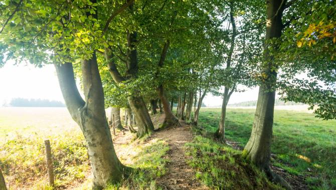
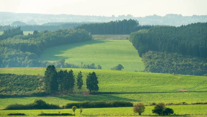
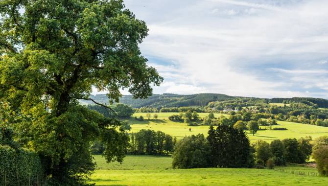
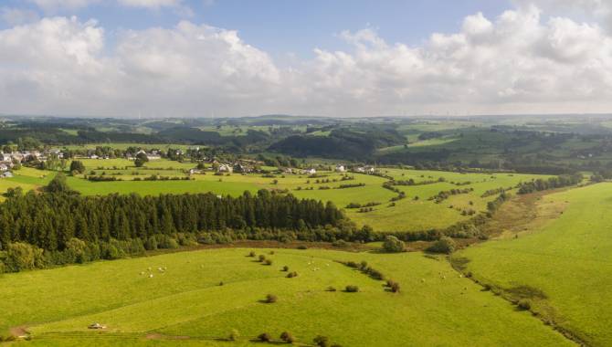
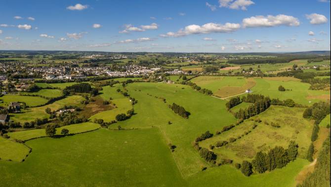
In East Belgium, there is a particularly dense network of GR hiking trails, which are marked with red-and-white signs. The GR hiking trails lead through the most beautiful areas of the region and its most impressive lookout points.

The GR long-distance hiking network
in East Belgium

GR 56
One of Belgium's oldest GR routes - 281,1 km
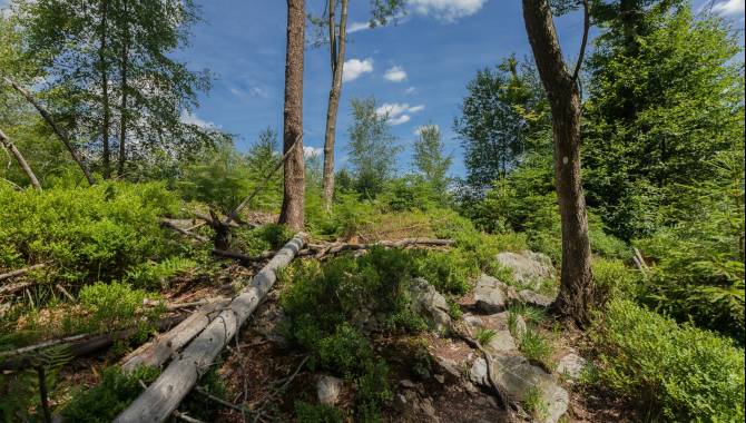
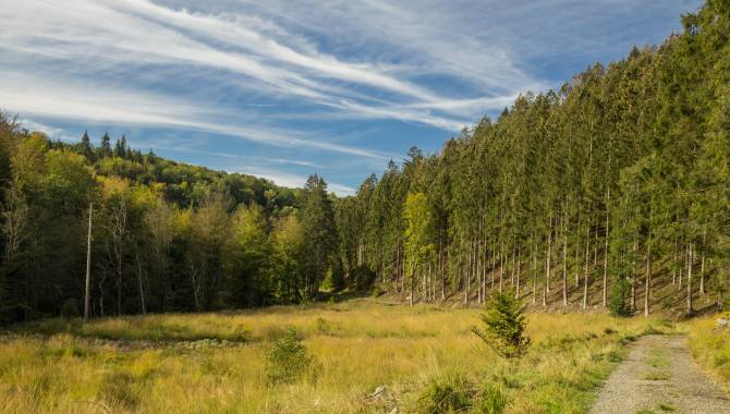
This long-distance hiking trail, one of the oldest in Belgium, leads through East Belgium for a total distance of just over 280 km and offers lots of different combinations thanks to its variants.
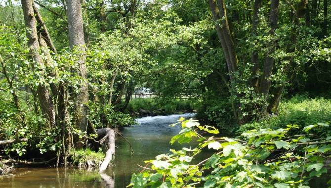
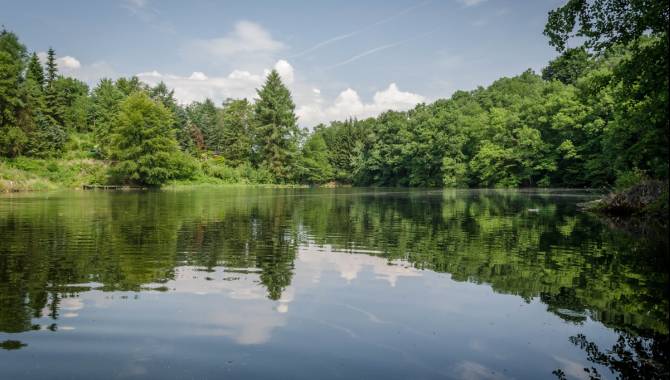
It takes you through the High Fens and the Belgian Eifel, but it also ventures a detour to Monschau. You walk through woods, fields and meadows, along well and less well-known rivers: on the one hand the Warche with its dams and the upper reaches of the Amel; on the other the Our, the Bayehon, the Tros Marêt and many other streams.
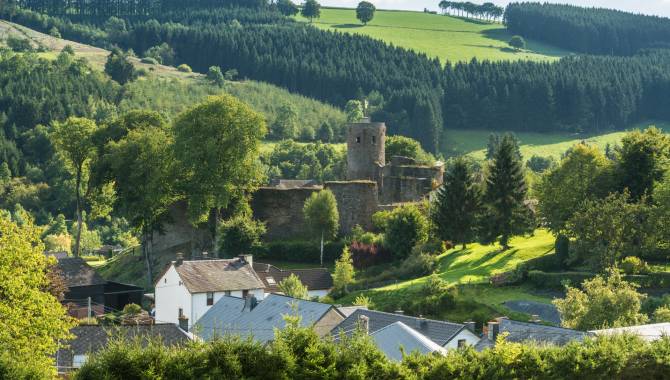
En route, you pass through beautiful little towns and villages with magnificent houses, churches and chapels. There are even a few medieval castles on the way. It's the sum of all these little features that makes up the charm of GR56.
The other GR - Long-distance-trails in East Belgium

GR 563
Eupen → Gemmenich - 42,4 km
On its eastern trajectory, this 150-km circular route through the Herver Land does a detour through the north part of East Belgium. Winding trails, rustic farms, idyllic villages and historical estates, hospitality, joie de vivre and gastronomy are hallmarks of this region. Between Eupen and Kelmis, there's a little paradise waiting to be discovered.

GR 573
Eupen → Nature Parc Centre Botrange - 22,7 km
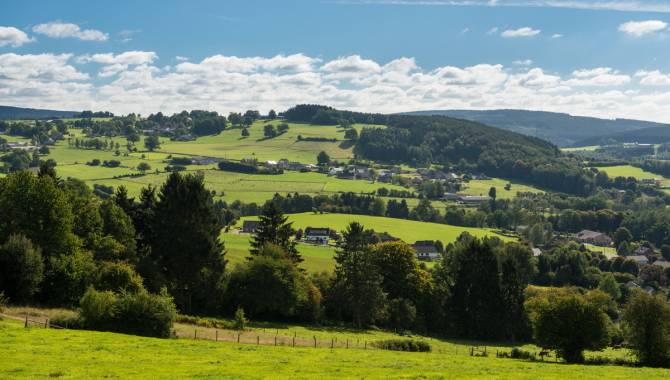
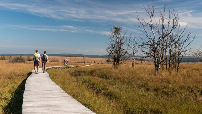
Climbing from Liège through the Weser valley, this GR follows the Hill from Eupen right to the heart of the High Fens on what is probably the most exciting and adventurous stage.
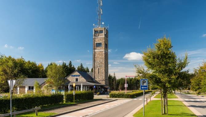
The finishing point of this day's walk is the Nature Parc Centre Botrange, nearby Belgium's highest point. A stage that offers the hiker a piece of genuine wilderness! Not suitable for those who prefer an easy walk.

GR 5
Burg-Reuland → Ouren - 10,7 km
It's only a short section of the well-known long-distance hiking trail from the North Sea to the Mediterranean that runs through East Belgium.
This short stage is in the beautiful Our valley and can easily be combined with GR 56, which converges with GR5 in Burg-Reuland. A tip for nature-lovers and those looking for some peace and quiet.

GR 15
Monschau → Eupen - 21,6 km
From Monschau via Eupen into the Ardennes, ending 200 km further on in Martelange. On the first stage, one highlight swiftly follows the other. The historical town centre of Monschau, the High Fens, the Hertogenwald with its wild streams, the Weser dam and, last but not least, lively Eupen, where no fewer than 3 long-distance hiking trails meet.


Signposting on long-distance hiking trails (GR)
Generally speaking, the red-and-white signs are at eye level. They may be found on trees, posts or other suitable surfaces (either painted or in the form of stickers).

Continuity of the trail
This rectangular sign measuring approx. 4.5 x 10 cm shows that you're going the right way. You can continue your walk in this direction.

Change of direction
This sign denotes a change of direction. It consists of a rectangular marking and another one below it with an arrow. The arrow points in the direction you need to take to follow the GR.

Wrong direction
This sign in the shape of a cross indicates that you are not on the right track or that you should not be going in this direction. If you can't see any rectangular signs any more, follow the trail back until you find one.

Variants of the trail
This rectangular sign with a white horizontal bar denotes a variant of the trail. This gives you the option of continuing your walk via different routes.
→ More information http://grsentiers.org/
Test high-quality hiking gear for free!
It's not always easy to find the right hiking equipment. Hiking shoes and trekking poles, backpacks … How to find what is right for you? At the High Fens House for Tourism in East Belgium, you can test quality material from many different brands at your leisure and test it under real-life conditions. And it's completely free!
With the right equipment, experiencing fascinating landscapes in East Belgium is even more fun. In our test centre, travellers can obtain advice and test high quality outdoor equipment. This way, guests have options they've never even thought about before – for example hiking with trekking poles or renting a modern GPS device including tour software.
This initiative is provided as part of 'Best of Wandern', a network that has been joined not only by European hiking regions, but also by representatives of leisure sport, including manufacturers, tour operators and the retail trade.
Contact:
High Fens House for Tourism – East Belgium
Place Albert 1er 29a - 4960 Malmedy
T +32 80 33 02 50 - info@ostbelgien.eu


The GR long-distance hiking network in East Belgium
Hiking has a strong tradition in East Belgium, with the first Belgian GR long-distance hiking trails ('sentiers de grande randonnée') in this region having been created in the 1950s. Since then, a whole GR network has come to cover the region.
The GR 56
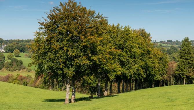
If you want to admire the beauty and the landscape of East Belgium, you should try out GR56.
This trail runs through the most beautiful areas with the most impressive lookout points in the region. You can do loops via GR15, GR573, GR563, GR14, GR5 and the GR Tour de Vesdre, discovering East Belgium's most beautiful places. Just follow the paths with the red-and-white signs.
Few regions can boast such a dense network of trails in such a small area! At the edge of the network of hiking trails, there are plenty of hotels and guesthouses which enable the stages of the tour to be planned without any problems.


